Aerial Survey
-
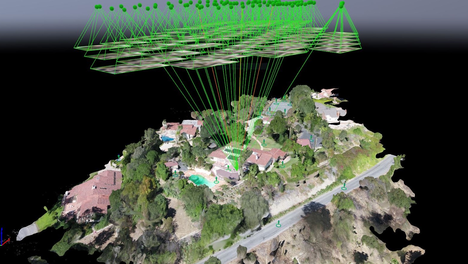
Aerial 3D Reconstruction
Aerial images can be used to reconstruct the three-dimensional (3D) information over an area. By applying the most advanced image matching techniques, Calland Engineering is able to reconstruct the geometry between the acquired images and produce precise 3D deliverables (e.g., Colorized Point Cloud) useful for building or terrain modeling.
-
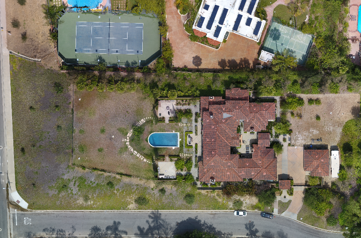
Orthophoto
An orthophoto is a geometrically corrected photo such that the scale is uniform. Since it is uniformly scaled, the image can be served as a basic map to measure distances and locations without adjustment for relief displacement.
-
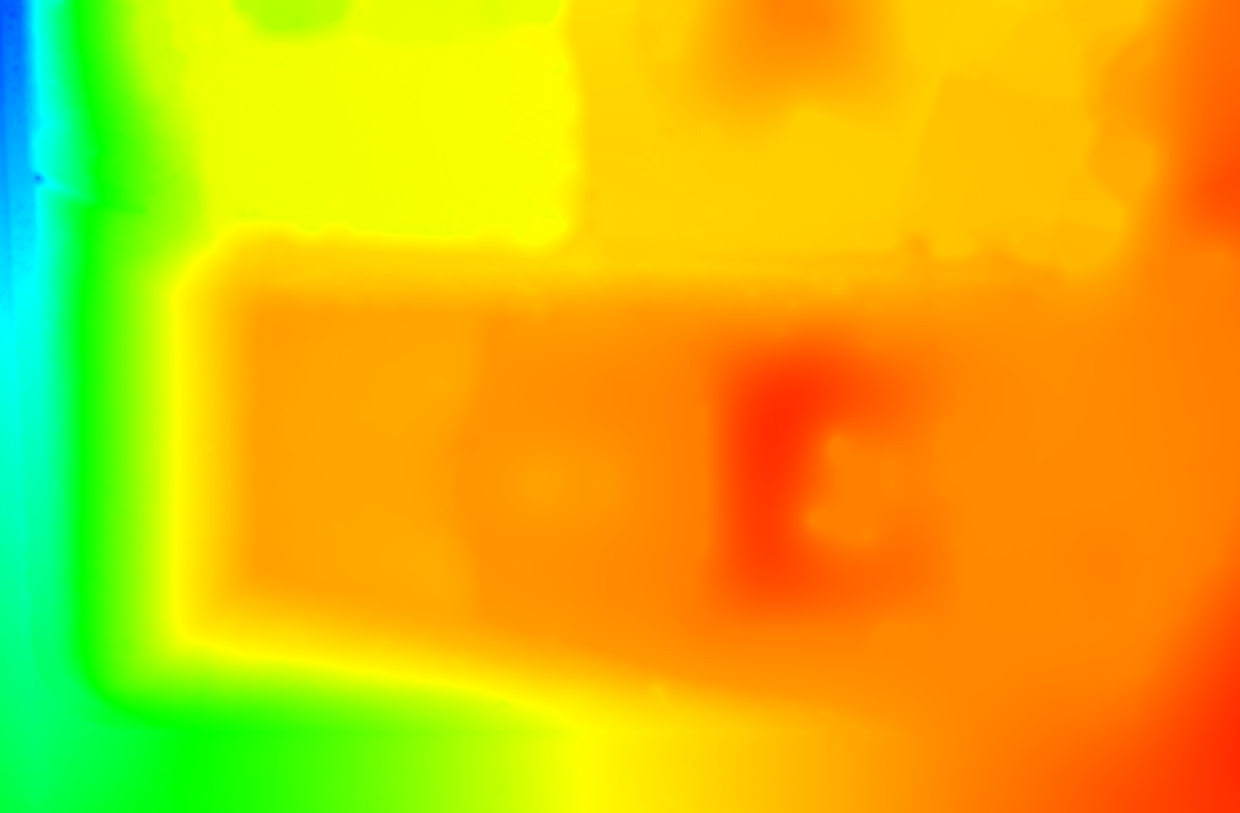
Digital Surface Model (DSM)
A Digital Surface Model (DSM) is geospatial deliverable representing ground features' height relative to the earth surface. It captures the man-made and natural features on the Earth, which includes buildings, terrain, vegetation, etc. Generally speaking, a DSM can be used to support 3D modeling, virtual visualization, or fly-through simulation.
-
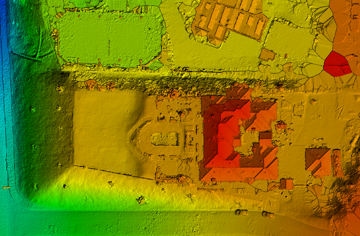
Digital Elevation Model (DEM)
A Digital Elevation Model (DEM) is a geospatial deliverable representing a terrain's surface created from ground elevation data (i.e., bare earth / underlying terrain). It keeps only the terrain features and removes any man-made structures or vegetation. In general, a DEM can be used to derive topographic contours, slope and aspect for hydrological studies and slope stability analysis.